Eine erschwingliche Lösung für alle, die eine genaue Unterwasserpositionierung benötigen.
Dive Tablet II
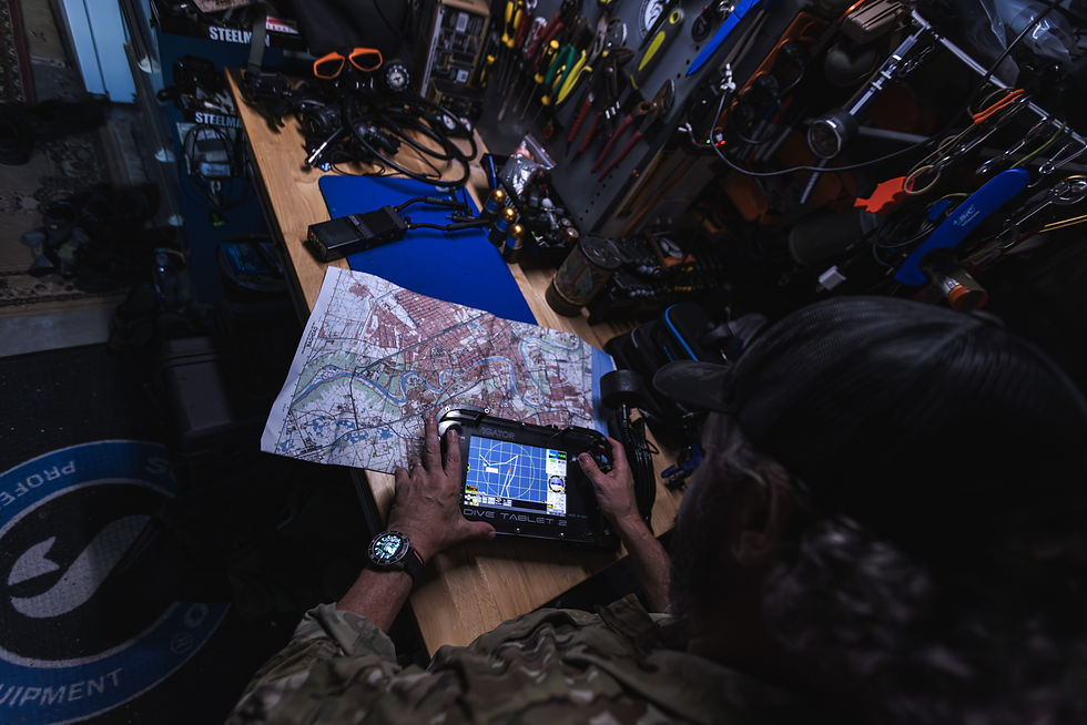
DIVE TABLET 2, our second generation of this product, is an affordable solution for anyone that requires accurate underwater positioning. Using advanced dead reckoning, GPS, DNS, or USBL, DIVE TABLET 2 allows operators to map underwater habitats, document archaeological sites, take geo-referenced photos and video, or accurately navigate underwater.
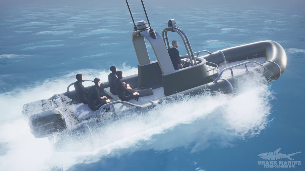
Die kompakte Größe und robuste Bauweise des DIVE TABLET 2 machen es geeignet für RHIBs und andere Oberflächenfahrzeuge, wo es zur Navigation oder zur Verfolgung und Kommunikation mit Tauchern über das Sub-NET-System eingesetzt werden kann.
Die DiveLog-Software von Shark Marine bietet eine benutzerfreundliche, intuitive Oberfläche zur Verwaltung aller Sensoren und Daten, sodass sich der Taucher auf den Tauchgang konzentrieren kann.
Kategorien
01:23
Shark Marine Navigator | Bringing Diver Navigation to New Heights
Mission success starts with knowing exactly where you are.
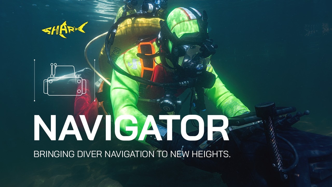
The Shark Marine Navigator delivers advanced underwater navigation, giving divers the situational awareness they need when visibility is limited and precision matters most. Designed for military, public safety, commercial, and scientific diving operations, Navigator combines intuitive navigation with mission-critical performance to help divers stay on course from deployment to recovery.
Whether conducting inspections, search operations, or underwater reconnaissance, Navigator provides the confidence to navigate complex underwater environments with accuracy and efficiency.
Key Features:
• Advanced underwater navigation
• Intuitive diver interface
• Built for demanding operational environments
• Mission-ready reliability
• Designed for military, public safety, commercial, and scientific diving applications
Discover how Shark Marine Technologies is advancing underwater navigation.
00:00 - Shark Marine Navigator
00:08 - Public Service Diver Operating the Navigator
01:12 - End Logo
🌐 Learn more: https://www.sharkmarine.com
#SharkMarine #Navigator #UnderwaterNavigation #CombatDiver #PublicSafetyDiving #CommercialDiving #MilitaryTechnology #DiveTechnology #Sonar #MaritimeSecurity #SearchAndRescue #UnderwaterOperations #MarineTechnology #MissionReady
07:05
Innovations for Maritime Security
A brief overview of Shark Marine Technologies Inc's SeaSar search and recovery system, along with the Navigator diver operated sonar imaging and navigation system, and STEALTH 2 Remotely Operated Vehicle
02:58
Navigator
Shark Marine Technologies Inc's NAVIGATOR diver held sonar imaging and navigation system.
04:36
Shark Marine Technologies Inc - Navigator for Mine Countermeasures (MCM)
Shark Marine's Diver Held Navigation and Sonar Imaging Systems have been tried, proven and are in use by Navies, Police Forces, and Scientific Groups across the globe.
Anwendungen:
Underwater Navigation and Mapping
Rapid Beach Profiling
Rugged Topside Computer
Track / Communicate with Divers using Shark Marine’s Sub-NET